Canadian Hydrographic Services
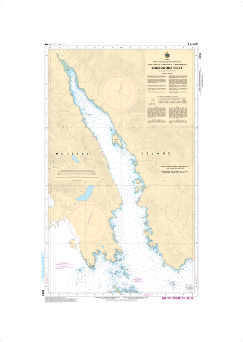
Chart 3857 - Louscoone Inlet
⚠️ Important Pickup Information
While our retail store carries a wide selection of products shown on this website, it is not possible to stock all 80,000+ products in-store.
Please place your order online or call us before driving to the store to confirm inventory availability.
If the item is not available in-store, we can usually transfer it from our warehouse within 3–5 business days, and we'll notify you as soon as it is ready for pickup or delivery .
- Free shipping on most orders over $120across Canada exceptions apply
- Description
Chart 3857 - Louscoone Inlet
*Charts are usually shipped folded, if rolled extra freight charges will apply.
Chart 3857 - Louscoone Inlet covers a specific area of the southern Queen Charlotte Islands (Haida Gwaii), British Columbia
KEY INFORMATION:
- Location: Louscoone Inlet, Southern Haida Gwaii.
- Purpose: Navigational chart for fishing and boating in local water