- Description
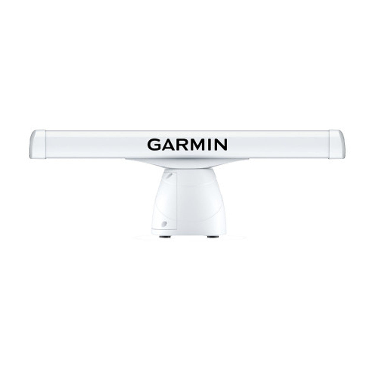
Garmin GMR 434 xHD3 Open Array Radar and Pedestal
Features:
New Scan Averaging Technology: A first for Garmin magnetron radar, scan averaging helps filter out sea clutter and interference to enhance the detection and display of consistent targets.
Target-Size Adjustment: Pulse expansion and angular target-size processing techniques optimize on-screen object shapes for better interpretation at all range scales.
High-Performance Antennas: The 100-knot wind-rated open-array antennas1 have rotation speeds of 24 and 48 RPM for fast redraw rates, with a max range of up to 96 nautical miles on the 25-kW versions (up to 72 nautical miles on the 4- and 12-kW versions).
True Echo Trails: A historical Û trail of boats on the water is displayed on the screen, removing relative motion influence to help you quickly identify moving targets and potential collision threats.
Dual Range with Overlay: A single radar antenna is capable of providing split-screen, side-by-side images on your compatible chartplotter, with independent range settings and controls for both close and long range. Overlay either or both ranges on a chart.
Dynamic Auto Gain: Gain automatically adjusts levels to optimum settings for harbors, near shore, and offshore in open waters.
Radar Overlay: See overlaid images on your chart plotter's map screen (with appropriate sensors, sold separately)
High-Resolution Radar: Pick out targets at a distance, thanks to narrow horizontal beamwidth and high antenna gain.
Dual-Radar Support: This provides redundancy and allows each display unit to pull data from different sources.
Dynamic Sea Filter: Radar gain automatically adjusts sea clutter for calm, medium, and rough sea conditions.
Auto Bird Gain: Locate flocks of birds at the water ۪s surface where baitfish are also likely to be found.
Marpa Target Tracking: Track up to 30 targets to help avoid collisions (with appropriate sensors, sold separately).
Guard Zone: Set the safety zone, and receive an alarm when an object enters the zone.
Range and Bearing Cues: Variable range markers and electronic bearing lines allow rapid measurements of distance and bearing to vessels and land.