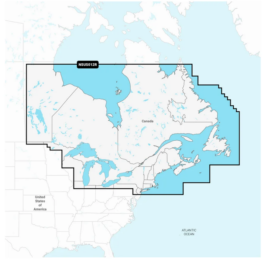
- Description
IT'S A WHOLE NEW LOOK ON YOUR CHARTPLOTTER
Featuring vibrant colors, a streamlined interface, and combined coastal/inland content with a popular Navionics
style color palette, Garmin Navionics+ cartography makes it easy to
plot your course with the world’s No. 1 name in marine mapping
FEATURES:
All-In-One Map solution for Garmin Chartplotters:
Access detail-rich mapping of coastal features, lakes, rivers, and more. Integrated Garmin and Navionics content offers coverage for boaters worldwide.
Daily Chart Updates:
Charts are constantly being enhanced with new and amended content:
Thousands of updates are made every day. The one-year included
subscription gives you access to daily chart updates via the ActiveCaptain app.
Auto Guidance+ Technology:
Combining the best of Garmin and Navionics automatic routing features, built-in Auto Guidance+ technology
2
gives you a suggested dock-to-dock path to follow through channels, inlets, marina entrances, and more.
Depth Range Shading:
High-resolution depth range shading lets you select up to 10
color-shaded options and view your designated target depths at a glance.
Up to 1' Contours:
For improved fishing and navigation, up to 1' contours provide a clear depiction of bottom structure for improved fishing charts and enhanced detail in swamps, canals, harbors, marinas, and more.
Shallow Water Shading:
To give a clear picture of shallow waters to avoid, this feature allows for shading at a user-defined depth.
ActiveCaptain Community:
Community-sourced content
provides useful points of interest, such as marinas, anchorages,
hazards, businesses, and more. Get recommendations from boaters with
firsthand experience of the local environment.
High-Resolution Relief Shading:
This detailed shading feature
3
combines color and shadow to give you an easy-to-interpret, clearer view of bottom structure than contour lines alone.
High-Resolution Satellite Imagery:
Downloadable high-resolution satellite imagery
3
provides superior situational awareness.
Aerial Photos:
Crystal-clear aerial and surface photos of ports, marinas, bridges,
docks, boat ramps, dams, and navigational landmarks provide a better
sense of your surroundings above the waterline.
3D FishEye View:
This underwater perspective shows the 3D representation of the bottom and
contours as seen from below the waterline. Interface with sonar data for
a customized view.
3D MarineEye View:
This view provides a 3D representation of the surrounding area both above and below the waterline.
Dynamic Lake Level:
Adjust your maps to the lake’s current water levels to see if spots are accessible or too shallow to explore.
1
Based on 2022 reported sales
2
Auto Guidance+ is for planning purposes only and does not replace safe navigation operations
3
Subscription
required; a one-year subscription, which is included with purchase of
Garmin Navionics Vision+ mapping solution, lets you access daily chart
updates and download additional content or premium features included
with your cartography product