- Description
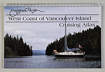
This cruising atlas is an invaluable planning and navigation tool for exploring the rugged beauty of the west coast of Vancouver Island. Reproductions of Canadian Hydrographic Service charts cover from Victoria to Barkley Sound, Cape Scott, and Hope Island. The atlas provides 21 overview charts, 85 detailed charts, and includes a useful index with a locator chart for 200 locations.
-
November 2002; 11" × 17", spiral bound, 126 pages
While Canadian law requires that official, up-to-date Canadian Hydrographic Service charts be used for navigation in Canadian tidal waters, the charts in this spiral-bound atlas are an excellent supplementary tool when piloting from the cockpit or bridge. On-board guests will also appreciate tracing their voyage in this atlas and viewing some of the panoramic photos included from Don Watmough’s Cruising Guide to the West Coast of Vancouver Island.