- Description
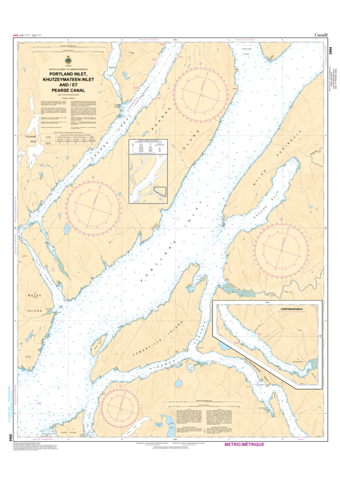
Chart 3994 - Portland Inlet, Khutzeymateen Inlet and Pearse Canal
*Charts are usually shipped folded, if rolled extra freight charges will apply.
KEY INFORMATION:
- Coverage: Extends across Portland Inlet, the ecologically significant Khutzeymateen Inlet (known for bears), and Pearse Canal.
- Purpose: Official nautical chart for safe navigation in these Canadian waters.
- Features: Includes depths (contours and spot depths), magnetic variation, anchorages, lighthouses, buoys, wrecks, rocks, submarine cables, and land characteristics.
- Languages: Bilingual (English and French).
- Formats: Available as standard paper charts