- Description
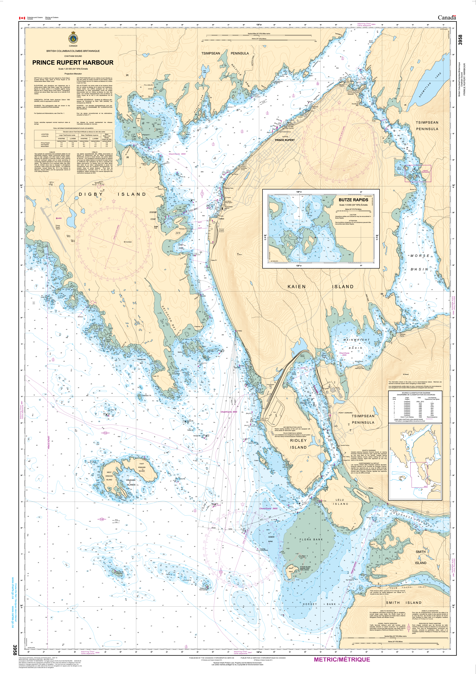
Chart 3958 - Prince Rupert Harbour
*Charts are usually shipped folded, if rolled extra freight charges will apply.
KEY INFORMATION:
- Area: Prince Rupert Harbour.
- Purpose: Safe navigation for vessels.
- Content: Includes water depths (soundings), depth contours, navigational aids (buoys, lights), shorelines, hazards, and port facilities.
- Units: Depths are typically in feet or fathoms (1 fathom = 6 feet).
- Data: Confirms deep water access for large vessels, with main channels around 35m deep and berths at 17-18m