- Description
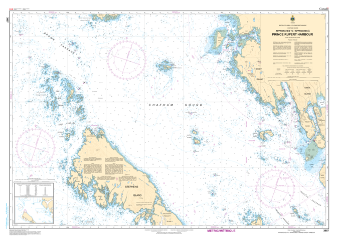
Chart 3957 - Approaches to/Approches Prince Rupert Harbour
*Charts are usually shipped folded, if rolled extra freight charges will apply.
KEY INFORMATION:
- Title: Approaches to/Approches Prince Rupert Harbour.
- Scale: 1:40,000.
- Coverage: Includes the main approaches to Prince Rupert, encompassing areas like Porpoise Harbour, Ridley Island, and Lelu Island.
- Purpose: Official chart for safe navigation in Canadian waters, used by commercial and recreational vessels.
- Format: Standard paper chart.