- Description
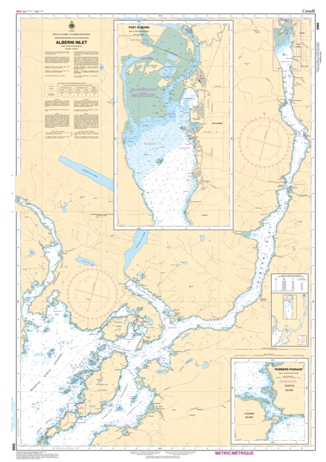
Chart 3668 - Alberni Inlet
*Charts are usually shipped folded, if rolled extra freight charges will apply.
KEY INFORMATION:
- Official Navigation: It's the authoritative chart for this Vancouver Island waterway, showing depths, sea bottom, coast, hazards, and aids to navigation.
- Coverage: Focuses on Alberni Inlet, extending from Barkley Sound up to Port Alberni, the head of the inlet.
- Users: Essential for all marine traffic, from large cargo ships to recreational boaters.
- Content Details: Shows features like Uchucklesit Inlet, Robbers Passage, and the port facilities at Port Alberni.