- Description
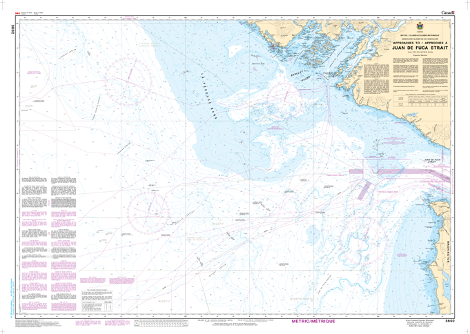
Chart 3602 - Approaches to/Approches à Juan de Fuca Strait
*Charts are usually shipped folded, if rolled extra freight charges will apply.
KEY INFORMATION:
- Coverage: Approaches to Juan de Fuca Strait, linking the Pacific Ocean to the southern Strait of Georgia/Puget Sound.
- Scale: 1:150,000
- Contents: Bathymetry (depths in meters), spot soundings, nature of the seafloor, coastlines, navigational aids (buoys, lights), wrecks, submarine cables, pipelines, and Traffic Separation Schemes (TSS)
KEY NAVIGATIONAL FEATURES:
- Traffic Management: Clearly marks the Traffic Separation Scheme (TSS) for the entrance to the Strait.
- Key Landmarks: Includes details for Race Rocks, Swiftsure Bank, and Vancouver Island coastline.
- Hazards: Shows submerged and awash rocks, obstructions, and shoals.
- Aids to Navigation: Lights, fog signals, and radio aids