- Description
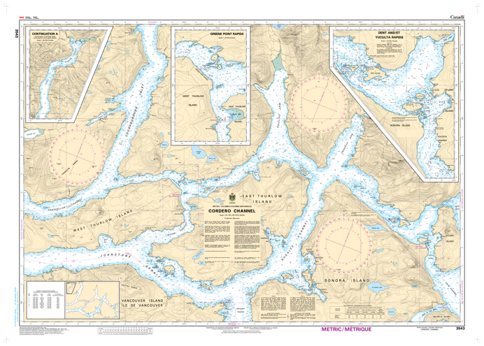
Chart 3543 - Cordero Channel
*Charts are usually shipped folded, if rolled extra freight charges will apply.
KEY INFORMATION:
- Chart Name: Cordero Channel
- Publisher: Canadian Hydrographic Service (CHS)
- Scale: Often listed as 1:20,000 (detailed) or 1:80,000 (regional)
- Coverage: Includes Johnstone Strait, Sonora Island, Thurlow Islands, Nodales Channel, and surrounding areas in BC.
- Purpose: Provides depths, sea bottom details, coastlines, dangers, and navigation aids for maritime safety.