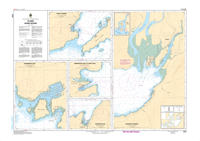
- Description
Chart 3534 - Plans - Howe Sound
*Charts are usually shipped folded, if rolled extra freight charges will apply.
WHAT IS IT:
- An official nautical chart for Canadian waters, essential for safe marine navigation.
- Provides detailed underwater topography (depths, sea bottom), shoreline, and navigational aids
KEY INFORMATION:
- Chart Number: 3534.
- Title: Plans - Howe Sound.
- Scale: 1:40,000 (meaning 1 unit on the chart equals 40,000 units on the water).
- Region: Pacific Coast, focusing on Howe Sound