- Description
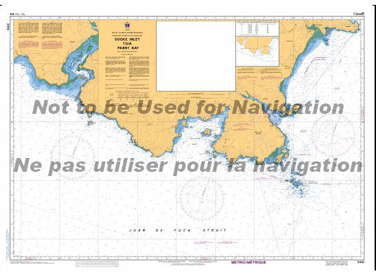
Chart 3410 - Sooke Inlet to Parry Bay
*Charts are usually shipped folded, if rolled extra freight charges will apply.
KEY INFORMATION:
- Designation: CHS Chart 3410.
- Area Covered: Sooke Inlet, Pedder Bay, and the adjacent coastline on Vancouver Island, BC.
- Purpose: Provides essential "road map" data for navigators, including water depths, bottom types, coastal features, hazards, and navigation aids.
- Scale: 1:20,000 (detailed scale for precise navigation).